6.1.4.5. Road Data
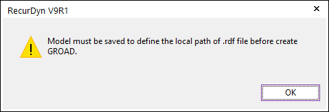
Figure 6.102 GRoad error message
6.1.4.5.1. Import GRoad
It allows the user to import the generated *.rdf file which is defined in a GRoad. For more information, click here.
6.1.4.5.2. Face GRoad
It allows the user to create a GRoad by using the faces of the selected solid or surface geometry and importing the user-defined *.rdf file which contains the extracted road patch data. For more information, click here.
Modeling Options
The user can create a GRoad by the following procedure.
Face, Direction, Direction, WithDialog
Face: Selects a face of the selected solid or surface entity.
Direction: Defines a normal direction of the GRoad.
Direction: Defines a heading direction of the GRoad.
WithDialog: Designates a name of the RDF file, and then saves.
Solid, MultiFace, Direction, Direction, WithDialog
Solid: Selects a solid or surface entity.
MultiFace: Selects faces of the selected solid or surface entity.
Direction: Defines a normal direction of the GRoad.
Direction: Defines a heading direction of the GRoad.
WithDialog: Designates a name of the RDF file, and then saves.